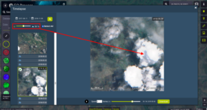
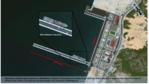
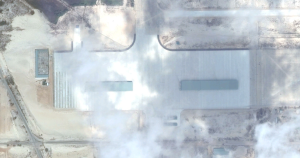
Using Time-Lapse Satellite Imagery To Detect Infrastructure Changes: Case-Studies via Myanmar, Nigeria and the South China Sea
Identifying changes in infrastructure is an important task for those of us surveilling areas for investigative purposes. Satellite imagery can show evidence of everything from the destruction of buildings, the erection of temporary structures, as well as newly constructed permanent facilities. This kind of information is important for analysis of events in conflict areas, as…